Pernes-les-Fontaines
V04 Circular hike in Pernes-les-Fontaines - 14 km - no 3
V04
Route
Loop
Difficulty
Intermediate
Duration
4h
Distance
13km
Positive elevation gain
186 meters
Negative elevation gain
186 meters
Altitude
Min. 89 meters
Max. 176 meters
- circuit
- variante
- liaison
Departure / Arrival
Complexe sportif Paul de Vivie / Complexe sportif Paul de Vivie
Parking
Car Park at the sports complex located route de Saint Didier
profil altimétrique
Downloads
Traces GPX
Tourist service in Pernes-les-Fontaines :
Go to the route
public transportation
By bus from Carpentras, Aix-en-Provence or Marseille, departure from the circuit 1km from the bus stop.
Bus line 13 : Cavaillon Carpentras.
Closest train stations: Carpentras, Monteux and l'Isle sur la Sorgue.
More information about the Bus network service
Bus line 13 : Cavaillon Carpentras.
Closest train stations: Carpentras, Monteux and l'Isle sur la Sorgue.
More information about the Bus network service
recommended parking
Car Park at the sports complex located route de Saint Didier
To note
Remember to find out about the hunts before you leave.
 If you want to report a problem on your hike (marking, maintenance, danger...), let us know on Suricate: sentinels.sportsdenature.fr
Access to the massifs
Respect the regulations preserving protected natural areas – find out about restrictions to accessing the massifs during fire risk periods, from 15 June to 15 September.
Before heading out, check the website
Respect the regulations preserving protected natural areas – find out about restrictions to accessing the massifs during fire risk periods, from 15 June to 15 September.
Before heading out, check the website
In brief
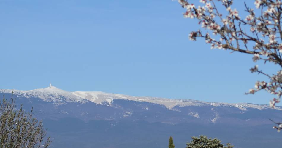
- Path winding between scrubland, pine and oak forests
- Typical landscapes of the Monts de VaucluseMany dry-stone constructions
Downloads
Contact
Office de Tourisme Porte du VentouxTel : View number 04 90 61 31 04
E-Mail : bienvenue@porteduventoux.com
Website : https://porteduventoux.com/